
ZoningLens
Lightweight React + GeoJSON mapping interface based on San Diego
ZoningLens is a lightweight React + GeoJSON based mapping interface built to make geospatial exploration accessible without specialized GIS tooling. The platform renders GeoJSON layers in-browser with OpenLayers, supports dynamic layer toggling, marker overlays, search workflows, and API-ready integrations for external data such as legislation or statistics. The architecture is modular and production-friendly, with Vite + TypeScript on the frontend and containerized deployment workflows using Docker, Docker Compose, and Jenkins for reliable CI/CD.
Role
Frontend & Mapping Interface Engineering
Frontend stack
React (TypeScript)
Vite + OpenLayers
Data & APIs
GeoJSON Layers
LegiScan-ready API integration
Deployment
Docker + Compose
Jenkins CI/CD
Load and visualize GeoJSON datasets directly in the browser using OpenLayers.
Main workspace with zoning layers, base tiles, and clean controls.
Switch between vector layers and custom overlays from the left sidebar.
Search, marker interaction, and parcel details in the right sidebar.
Prompting chat interface with the zones pretrained.
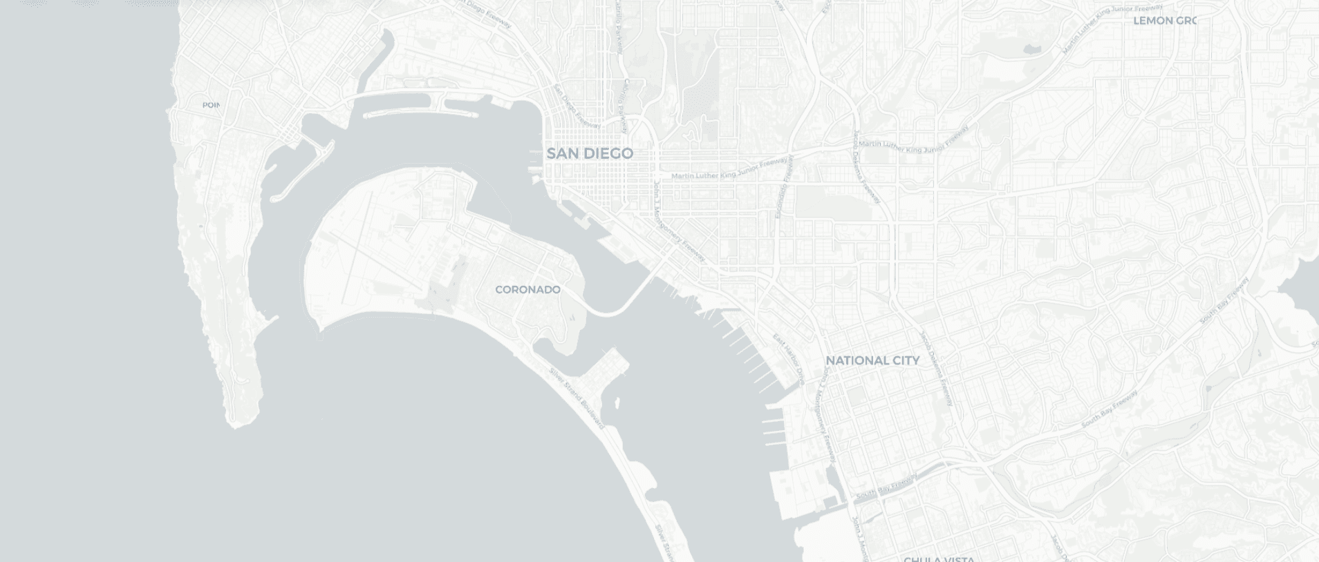 06
Light mode.
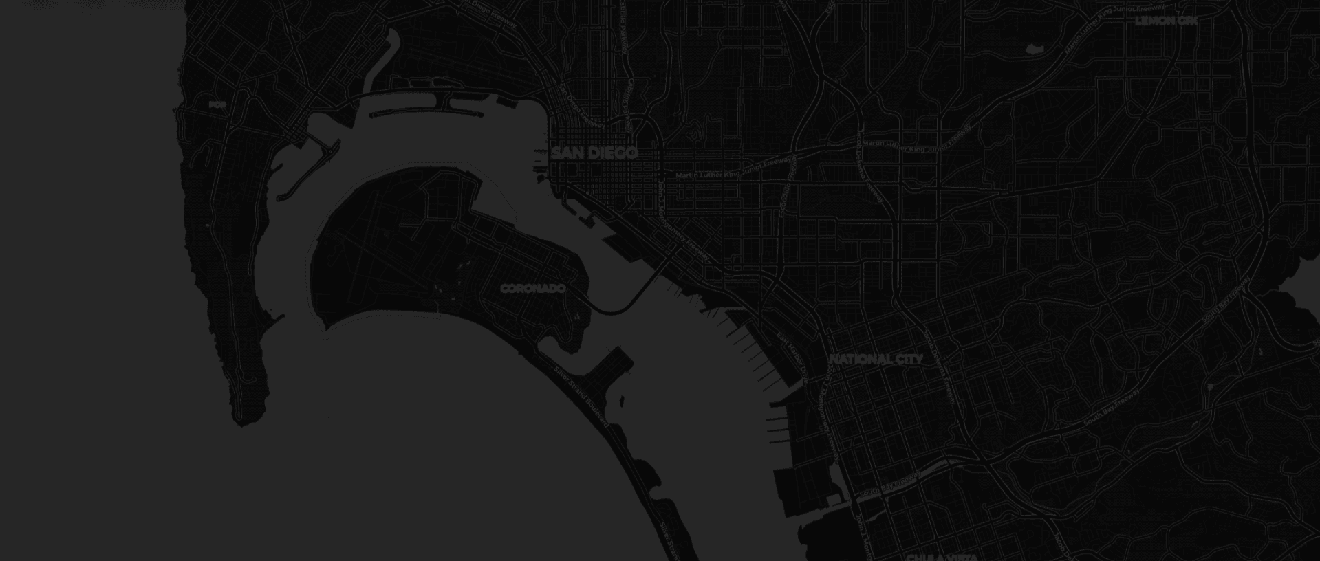 07
Dark mode.